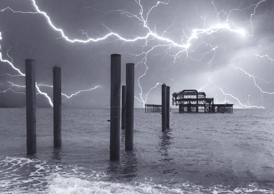
The Met Office has issued a thunderstorm warning covering 2am to 8am tomorrow (Thursday 27 August).
The yellow weather warning said that people could expect some flooding of homes and businesses, which could happen quickly, as well as lightning strike, hail or strong winds.
The official forecaster said: “Spray and sudden flooding could lead to difficult driving conditions and some road closures (and) some communities might become cut off if roads flood.
“Where flooding or lightning strikes occur, there is a chance of delays and some cancellations to train and bus services.”
But the Met Office also said that the warning, covering a large part of the south east, was yellow because “this warning has a low likelihood and a medium impact”.
The forecaster also issued some advice including: “Prepare to protect your property and people from injury.
“Before gusty winds arrive, check to ensure moveable objects or temporary structures are well secured. Items include: bins, garden furniture, trampolines, tents, gazebos, sheds and fences.”
The Met Office added: “An area of thunderstorms and heavy rain will move north into south east England later Wednesday night (tonight) and into Thursday morning.
“Accumulations of 20mm to 30mm (just over an inch) in an hour are possible locally while 30mm to 40mm in 6 hours can be expected fairly widely.
“There is a small chance that some places may see more than 50mm in three hours. Lightning and hail of 1cm to 2cm will also be hazards and, in a few places, strong gusts may also present a hazard.”
The worst of the weather is due to have left the area by lunchtime although the outlook for the weekend is wet and windy, especially on Saturday (29 August).