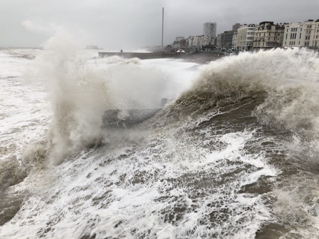
Storm Amy has made land and could bring gusts of 60mph to 65mph along the Sussex coast, according to the Met Office.
The worst of the storm is further north but the official forecaster has extended its weather warnings to cover the whole of the south east of England as well.
The height of the storm is expected tomorrow (Saturday 4 October), with the Met Office saying: “Storm Amy will bring a period of strong and gusty winds to parts of England and Wales on Saturday.”
The Met Office said that some bus and train services could be affected and some journeys could take longer, with delays for high-sided vehicles on exposed routes and bridges.
The forecaster added: “It’s likely that some coastal routes, seafronts and coastal communities will be affected by spray and/or large waves.
“Some delays to road, rail, air and ferry transport are possible. Some short-term loss of power and other services is possible.
“West to south westerly winds will strengthen and become rather gusty on Saturday, with gusts of 45mph to 55mph possible in places, and perhaps 60mph to 65mph along some exposed coasts, especially in the west, and briefly over more exposed hills inland.
“Winds should then gradually ease later on Saturday.”
The Met Office added: “If you are on the coast, stay safe during stormy weather by being aware of large waves.
“Even from the shore large breaking waves can sweep you off your feet and out to sea.
“Take care if walking near cliffs. Know your route and keep dogs on a lead. In an emergency, call 999 and ask for the coastguard.”


