
Temperatures could touch 30C (86F) over the bank holiday weekend before the remnants of Hurricane Erin bring wind and rain along with big waves to the coast.
Warm and sunny spells are expected over the weekend, hitting a peak tomorrow (Monday 25 August) before Erin is expected to bring more unsettled weather, the Met Office said.
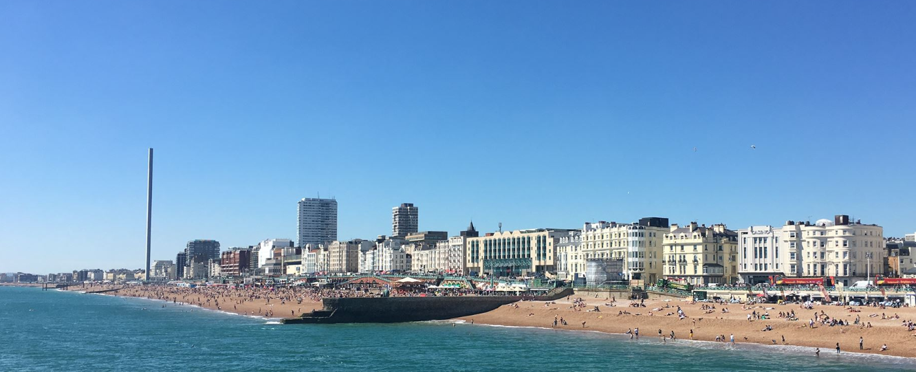
The RNLI urged people to go to a lifeguarded beach where possible and beware of rough seas.
Met Office meteorologist Craig Snell said: “It’s looking fairly fair. It’s going to turn increasingly warm. The warmest day is going to be Monday. Each day there will be more sunshine developing.”
Today is forecast to be a mix of cloud and sunshine again although possibly sunnier than yesterday. It will be a degree or two warmer too.
Then the sunshine will be more widespread on Monday with maximum temperatures of 29C or even 30C.
The fine weather will end tomorrow, with more unsettled conditions expected for the coming week, with 16ft waves further west.
The changes will flow from the remnants of Hurricane Erin, bringing a return of some rain, the official forecaster said.
Mr Snell said: “It does stay for most of next week to the north west of the UK so really strong winds stay offshore. The main impacts for us is it will bring a return of some rain.
“From Tuesday onwards some of the rain will be heavy so we’ll keep an eye on that. Temperatures return back down to average, low twenties in the south.
“It will be a little bit blustery. There will be some more larger waves towards the western coasts.
“If you are planning to head towards the beach early next week, stay up to date with forecasts on our website … and keep up to date with the RNLI.”
Chris Cousens, RNLI water safety lead, said: “We want people to enjoy the bank holiday and stay safe and, with this unusually big surf forecast for this time of year likely to peak later in the bank holiday weekend and early next week, it’s important for people to be aware so they can keep themselves and their families safe.
“Big surf means greater risk from rip currents and the swell also coincides with spring tides which means more powerful tidal water movement at greater speed.
“The forecast is changeable so things might look different over the next couple of days. But we do know that, with the current forecast for bigger waves building and arriving towards the end and the day after the August bank holiday weekend, beaches are likely to be busy with holidaymakers and locals.
“Some places could see bigger waves building through the weekend too.
“We always advise people to visit a lifeguarded beach where possible but we also appreciate people will be out on the coast where lifeguards are not present.
“Rip currents are powerful channels of water that become more powerful in larger surf. They are also found around river mouths, estuaries and man-made structures like piers and groynes.
“Our rip current advice is the same whether you are at a lifeguarded beach or not. If you find yourself caught in a rip current, don’t fight against it or you’ll get exhausted.
“If you can stand, wade back to shore or swim parallel to the beach until you’re free of the current, then return to the beach.
“Alternatively, if you can’t do either of those or are becoming exhausted, float to live to preserve your energy and then wave and shout for help.”


International friend: “why are you Brits, so obsessed about weather?”
Me: “coz it’s so dam changeable”
Her (similarly international) friend to me: “What are your religious views?”
Me: “I can see a church from my front window”
It’s perhaps worth pointing out that this is a national forecast and not a local one.
The RNLI are doing a great job of running our beach lifeguarding services this year, but there is in fact little chance of rough seas in our area, over the next few days.
Nor do we generally have rip currents on our stretch of coastline – except maybe next to a jetty or harbour arm.
For sure, head to a lifeguarded beach if you are not a confident swimmer.
The SE wind will also be light for Brighton and Hove beaches, especially for Sunday and Monday, until it veers more southwesterly on Tuesday at which point it will pick up for the afternoon.
Apart from the possibility of a shower on Tuesday, the heavier rain doesn’t really arrive in the Southeast until later this week, with Friday looking like the really wet day.